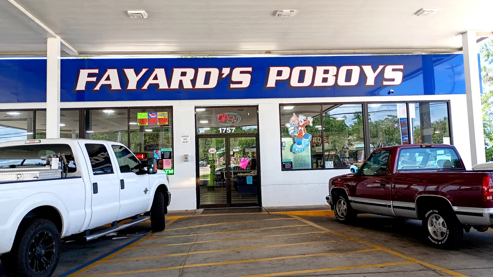
Cedar Lake is the area around Cedar Lake Road and I-10 exit 44 in ZIP 39532, split between Biloxi and Harrison County school districts at I-10.
Last checked Oct. 16, 2026. Sources: the City of Biloxi’s 2009 comprehensive plan, Land Use (PDF) and North Biloxi chapter (PDF), the Census Bureau’s school district boundaries, the Harrison County School District’s school zone lookup, the Biloxi Public School District’s attendance zones map (PDF), the Mississippi Department of Education’s report card, Zillow Research and OpenStreetMap.
Cedar Lake is the busy crossroads where Cedar Lake Road meets I-10, with shops, medical offices and apartments by the interchange and subdivisions behind them. OpenStreetMap marks a place named Cedar Lake just north of I-10. The City of Biloxi’s comprehensive plan, adopted in December 2009, names the interchange area the Cedar Lake Regional Activity Center and says it is “developing with a mix of uses, including commercial, institutional … and high-density residential.”
What this means for you
- Schools: split at I-10. South: the Biloxi Public School District and Biloxi High (B). North: the Harrison County School District and D’Iberville High (A). Grades from the state’s 2025-26 report card.
- Home value: $279,272 in ZIP code 39532 in September 2026, according to the Zillow Home Value Index.
- Nearest interstate exit: I-10 exit 44 (Cedar Lake Road).
Part of our Biloxi neighborhoods guide. Cedar Lake straddles two of the city’s planning areas: North Biloxi south of I-10 and Woolmarket to the north.
Where it is
Cedar Lake runs along Cedar Lake Road from Popp’s Ferry Road north past the I-10 interchange at exit 44. The plan calls Cedar Lake Road North Biloxi’s “major commercial corridor” and says the interchange gives the area direct access west to Woolmarket and Gulfport and east to D’Iberville. The whole area is in ZIP code 39532.
The plan lists the Innovation Center, a small-business incubator, and the Cedar Lake Medical Park and Surgery Center among the uses at the interchange, and encourages more regional medical, job, retail, service and high-density housing there.
Homes
The plan describes the surrounding North Biloxi housing as mostly single-family homes in low-density subdivisions, with pockets of apartments along Popp’s Ferry Road and Cedar Lake Road. North of I-10 the plan’s Woolmarket chapter describes a more rural pattern of large lots. Low-lying land along the Tchoutacabouffa River, which crosses Cedar Lake Road just north of I-10, flooded during Hurricane Katrina, the plan says. Check a lot on FEMA’s flood map; see our building permits and zoning guide.
Schools
The Census Bureau’s school district map splits Cedar Lake roughly at I-10. South of the interstate is mostly the Biloxi Public School District, in the North Bay Elementary zone on the district’s attendance zones map; some land on the east side is in the Harrison County district. North of I-10 is the Harrison County School District, whose 2022 zone maps put most of it in the Creekbend Elementary and Middle zone, with parts in the Woolmarket and D’Iberville elementary zones. Every Harrison County zone here feeds D’Iberville High. Check an address on the county’s school zone lookup. Grades are from the state’s 2025-26 report card:
| School | District | Grades | State grade, 2025-26 |
|---|---|---|---|
| North Bay Elementary, 1825 Popp’s Ferry Road | Biloxi | K-4 | A |
| Biloxi Upper Elementary, 1424 Father Ryan Ave. | Biloxi | 5-6 | B |
| Biloxi Junior High, 1921 Tribe Drive | Biloxi | 7-8 | A |
| Biloxi High School, 1845 Tribe Drive | Biloxi | 9-12 | B |
| Creekbend Elementary and Middle, 16121 Highway 15 | Harrison County | K-8 | A |
| Woolmarket Elementary, 12513 John Lee Road | Harrison County | K-6 | B |
| D’Iberville Elementary, 4540 Brodie Road | Harrison County | K-3 | A |
| D’Iberville High, 15625 Lamey Bridge Road | Harrison County | 9-12 | A |
Grade spans are from the federal NCES school directory. The state says 2025-26 grades used the higher of the 2025-26 or 2024-25 English results because of a writing field test. More in our schools guide.
Home values
Zillow does not split Biloxi by neighborhood. Its index for ZIP code 39532 was $279,272 in September 2026, up 3.95% from $268,648 in September 2025, according to the Zillow Home Value Index. The figure for the city of Biloxi was $241,021. The index is a modeled typical value for homes in the middle of the market, not a sale price. See our home prices guide.
Parks and trails
From the city’s parks page, the nearest city parks are on Popp’s Ferry Road, west of Cedar Lake Road:
- Popp’s Ferry Recreational Area and Popp’s Ferry Dog Park, 2150 Popp’s Ferry Road
- Popp’s Ferry Causeway Park, 560 Causeway Drive, with boat and kayak launches
More in parks and trails.
Getting around
- I-10: exit 44 is the Cedar Lake Road interchange, signed for the Coast Coliseum, per OpenStreetMap. Exit 46 to I-110 and D’Iberville is about 2 miles east.
- Downtown Biloxi: about 8 miles by road. Gulfport-Biloxi International Airport: about 14 miles. Both are measured on the OpenStreetMap road network and are distances, not drive times.
- Buses: none of the Coast Transit Authority’s route descriptions name Cedar Lake Road.
Groceries and everyday stores
From OpenStreetMap:
- Walmart Neighborhood Market, 1820 Popp’s Ferry Road, near Cedar Lake Road
- Walmart Supercenter, 3615 Sangani Blvd., and Target, 3867 Promenade Parkway, at the Promenade in D’Iberville, off I-10 at exit 46
- Walgreens, Sangani Boulevard, and CVS Pharmacy, also near the Promenade
Frequently asked questions
Where is Cedar Lake in Biloxi?
Cedar Lake is the area along Cedar Lake Road around the I-10 interchange at exit 44, from Popp’s Ferry Road north across I-10. The city’s comprehensive plan calls it the Cedar Lake Regional Activity Center, and OpenStreetMap marks a place named Cedar Lake north of I-10.
What schools serve Cedar Lake in Biloxi?
It depends on which side of I-10 you live. South of I-10 is mostly the Biloxi Public School District’s North Bay Elementary zone and Biloxi High. North of I-10 is the Harrison County School District, mostly the Creekbend Elementary and Middle zone, and D’Iberville High.
What is the typical home value in Cedar Lake?
Zillow’s index for ZIP code 39532, which includes Cedar Lake, was $279,272 in September 2026, up 3.95% in a year. It is a modeled typical value, not a sale price.
What is the closest I-10 exit to Cedar Lake Road?
Exit 44, the Cedar Lake Road interchange, which OpenStreetMap signs for the Coast Coliseum.
Have your say