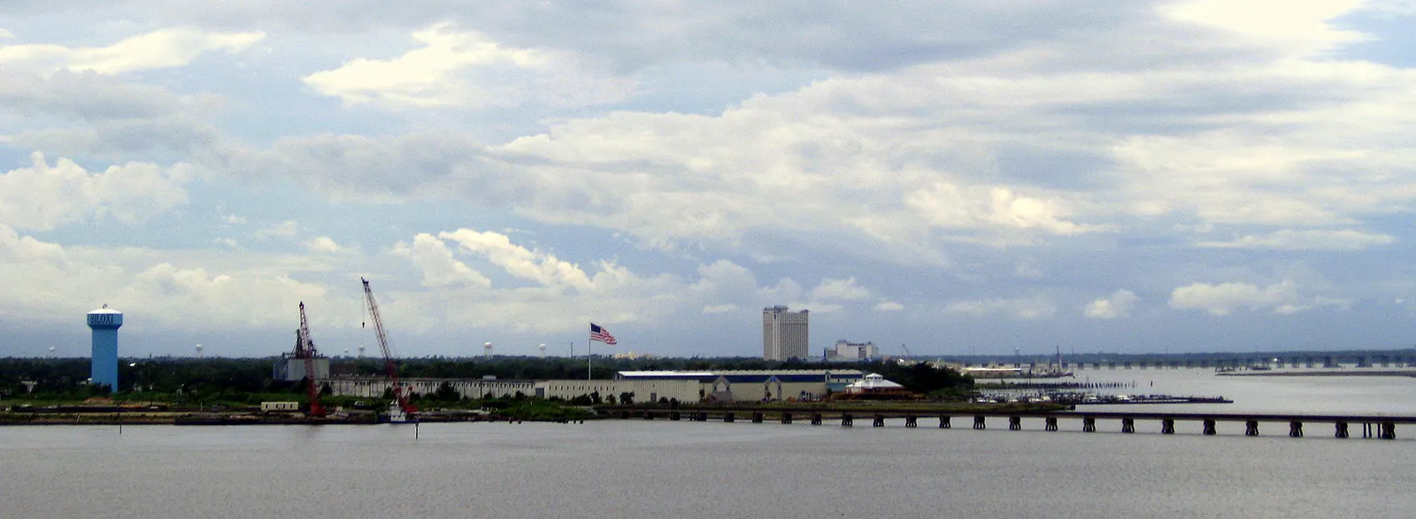
Biloxi's eight areas, from downtown to Woolmarket: ZIP codes, zoned high schools and Zillow home values by ZIP, from city and state sources.
Last checked Oct. 16, 2026. Sources: the City of Biloxi’s 2009 comprehensive plan, the Biloxi Public School District’s attendance zones map (PDF), the Harrison County School District’s school zone lookup, the Census Bureau’s school district and ZIP code boundaries, the Mississippi Department of Education’s report card, Zillow Research and OpenStreetMap.
Biloxi is two cities in one shape. The old city sits on a narrow peninsula between the Mississippi Sound and the Back Bay of Biloxi, with Keesler Air Force Base in the middle. The newer city spreads north across the Back Bay to I-10 and beyond, into the rural land around Woolmarket. About 48,900 people live in Biloxi, according to the Census Bureau’s 2020-2024 American Community Survey.
What this means for you
- School zones do not follow the city limits. The peninsula and most of North Biloxi are in the Biloxi Public School District; most of Woolmarket is in the Harrison County School District. Check every address.
- ZIP codes roughly match the areas: 39530 for East Biloxi, 39531 for West Biloxi, 39532 for North Biloxi and Woolmarket, 39534 for Keesler.
- Water shapes daily life: the peninsula’s flood zones and the drawbridges over the Back Bay matter as much as the map. See our hurricane prep guide.
How Biloxi is laid out
The City of Biloxi’s comprehensive plan, adopted by the City Council in December 2009, divides the city into four neighborhood planning areas, shown on its planning areas map (PDF): East Biloxi and West Biloxi on the peninsula, and North Biloxi and Woolmarket north of the Back Bay. The plan treats downtown separately, and names regional activity centers at the Coliseum near Edgewater and at Cedar Lake Road and I-10.
Three roads tie it together. U.S. 90, Beach Boulevard, runs the length of the beach and crosses the Biloxi Bay Bridge to Ocean Springs. I-110 runs from downtown north over the Back Bay to I-10, which crosses North Biloxi and Woolmarket. Popp’s Ferry Road links West Biloxi and North Biloxi over a drawbridge. Neighboring D’Iberville, about 3 miles north, sits between North Biloxi and I-110; Gulfport begins at Debuys Road on the west.
Keesler Air Force Base fills the middle of the peninsula between East and West Biloxi. It has its own ZIP code, 39534, and housing on the base is for the military, so it has no page here.
Biloxi’s areas at a glance
Home values are Zillow’s index for each area’s ZIP code in September 2026; Zillow does not publish neighborhood figures. High school grades are from the state’s 2025-26 report card: Biloxi High earned a B and D’Iberville High an A.
| Area | ZIP code | Zoned high school | Typical home value in the ZIP | Guide |
|---|---|---|---|---|
| Downtown | 39530 | Biloxi High | $159,759 | Downtown |
| Point Cadet | 39530 | Biloxi High | $159,759 | Point Cadet |
| East Biloxi | 39530 | Biloxi High | $159,759 | East Biloxi |
| West Biloxi | 39531 | Biloxi High | $205,581 | West Biloxi |
| Edgewater | 39531 | Biloxi High | $205,581 | Edgewater |
| North Biloxi | 39532 | Biloxi High (some edges: D’Iberville High) | $279,272 | North Biloxi |
| Cedar Lake | 39532 | Biloxi High south of I-10; D’Iberville High north | $279,272 | Cedar Lake |
| Woolmarket | 39532 | D’Iberville High | $279,272 | Woolmarket |
The city of Biloxi’s own Zillow figure was $241,021, up 3.24% in a year. The index is a modeled typical value for homes in the middle of the market, not a sale price. More in our home prices guide and schools guide.
The areas
Downtown. The plan’s Downtown Planning Area runs from Hopkins Boulevard to Dukate Street and from Esters Boulevard to the Sound, taking in the Beau Rivage and Hard Rock. Its historic core is on the National Register. Gorenflo Elementary zone. Read the downtown guide.
Point Cadet. The eastern tip of the peninsula, one of five local historic overlay districts in East Biloxi, with Point Cadet Plaza, the marina and the seafood museum. Gorenflo zone. Read the Point Cadet guide.
East Biloxi. The peninsula east of Keesler, the oldest part of the city and the hardest hit by Hurricane Katrina; the plan says most of it is in the 100-year floodplain. Mostly Gorenflo zone, Back Bay Elementary at the west end. Read the East Biloxi guide.
West Biloxi. Debuys Road to Keesler, with attractions along U.S. 90, shops on Pass Road and neighborhoods along the Back Bay, including Hiller Park. Split between the Popp’s Ferry and Back Bay elementary zones. Read the West Biloxi guide.
Edgewater. West Biloxi’s west end around Edgewater Mall, the Coast Coliseum and Beauvoir, the plan’s Convention Center activity center. Popp’s Ferry Elementary zone. Read the Edgewater guide.
North Biloxi. The mainland between the Back Bay and the Tchoutacabouffa River, mostly single-family subdivisions along Popp’s Ferry Road, home to Biloxi High and North Bay Elementary. Read the North Biloxi guide.
Cedar Lake. The Cedar Lake Road corridor at I-10 exit 44: stores, medical offices and apartments, with homes on both sides of the interstate. Its school district changes at I-10. Read the Cedar Lake guide.
Woolmarket. The rural north end around Highway 67 and I-10 exit 41, mostly large lots, in the Harrison County School District. Read the Woolmarket guide.
How to check an address
- School district and zone: the Biloxi district’s attendance zones map (last revised in 2011) and the Harrison County district’s zone lookup.
- Taxes and value: the Harrison County Tax Assessor; see our property tax guide.
- Zoning and flood zone: our building permits and zoning guide.
- Comparing towns: our Biloxi vs. D’Iberville vs. Gulfport vs. Ocean Springs guide.
Map credit
Area boundaries follow the City of Biloxi’s neighborhood planning areas map (PDF) in the 2009 comprehensive plan. Place names, roads, exits and stores are from © OpenStreetMap contributors.
How we built this
We used only areas a public source names and maps. The four planning areas and downtown come from the city’s comprehensive plan; Point Cadet is one of the plan’s local historic districts; Edgewater and Cedar Lake are places on OpenStreetMap that match the plan’s two regional activity centers outside downtown. We did not name individual subdivisions or rank areas. School zones come from the Biloxi district’s map and the Harrison County district’s 2022 zone maps, checked against the Census Bureau’s school district boundaries at hundreds of points in each area. Road distances to downtown and the airport are measured on the OpenStreetMap road network and are not drive times. The city has no neighborhood or HOA registry online, so HOAs are not covered.
Frequently asked questions
What are the neighborhoods in Biloxi?
The city’s comprehensive plan divides Biloxi into four planning areas: East Biloxi and West Biloxi on the peninsula, and North Biloxi and Woolmarket north of the Back Bay. Named areas inside them include downtown, Point Cadet, Edgewater and Cedar Lake.
Are all Biloxi homes in the Biloxi Public School District?
No. The peninsula and most of North Biloxi are in the Biloxi Public School District, but most of Woolmarket and the land north of I-10 near Cedar Lake Road are in the Harrison County School District, zoned for D’Iberville High.
Which Biloxi ZIP code has the highest home values?
In Zillow’s September 2026 index, ZIP code 39532 (North Biloxi and Woolmarket) was highest at $279,272, followed by 39531 (West Biloxi) at $205,581 and 39530 (East Biloxi) at $159,759. These are modeled typical values, not sale prices.
What ZIP codes are in Biloxi?
Biloxi’s ZIP codes are 39530 (East Biloxi and downtown), 39531 (West Biloxi), 39532 (North Biloxi and Woolmarket) and 39534 (Keesler Air Force Base).
Have your say