Edgewater is West Biloxi's west end around Edgewater Mall, the Coast Coliseum and Beauvoir, in ZIP 39531 and the Popp's Ferry Elementary zone.
Last checked Oct. 16, 2026. Sources: the City of Biloxi’s 2009 comprehensive plan, Land Use (PDF) and West Biloxi chapter (PDF), the Biloxi Public School District’s attendance zones map (PDF), the Mississippi Department of Education’s report card, Zillow Research, the Coast Transit Authority and OpenStreetMap.
Edgewater is the west end of Biloxi, where the beach, the Mississippi Coast Coliseum and Convention Center, Edgewater Mall and Beauvoir sit close together along U.S. 90. OpenStreetMap marks the area as Edgewater Park. The City of Biloxi’s comprehensive plan, adopted in December 2009, makes the Coliseum area a “Regional Activity Center,” which it describes as “a high-quality, walkable visitor destination,” and calls the surrounding stretch the West Biloxi Regional Business District.
What this means for you
- Schools: the Biloxi Public School District’s Popp’s Ferry Elementary zone, then Biloxi High School, rated B on the state’s 2025-26 report card.
- Home value: $205,581 in ZIP code 39531 in September 2026, according to the Zillow Home Value Index.
- Nearest interstate exit: I-10 exit 38 (Lorraine-Cowan Road), by way of Cowan Road in Gulfport.
Part of our Biloxi neighborhoods guide and of the larger West Biloxi planning area.
Where it is
Edgewater is the western edge of the city’s West Biloxi planning area, east of Debuys Road, the Gulfport line, along U.S. 90 and Pass Road, with the Mississippi Sound to the south. The plan says regional business uses in West Biloxi are concentrated “between Rodenberg Avenue and the Biloxi/Gulfport boundary,” anchored by the Coliseum and Edgewater Mall, and it names Beauvoir, the historic house and museum, as another anchor. The area is in ZIP code 39531.
Homes
The plan describes West Biloxi as a mix of casinos, hotels, apartments, shops and institutions along U.S. 90, with single-family neighborhoods behind them. For the Coliseum district it asks for “buffers and transitions provided to lower density residential uses” and for keeping the scenic quality of U.S. 90. It says the south side of U.S. 90 and parts of the north side are in the velocity flood zone. Look up a lot on FEMA’s flood map and read our building permits and zoning guide.
Schools
The Biloxi Public School District’s attendance zones map, last revised in 2011 and linked from the district’s zones page, puts the west end of the city, from Debuys Road east, in the Popp’s Ferry Elementary zone. Grades are from the state’s 2025-26 report card:
| School | Grades | State grade, 2025-26 |
|---|---|---|
| Popp’s Ferry Elementary, 364 Nelson Road | K-4 | B |
| Biloxi Upper Elementary, 1424 Father Ryan Ave. | 5-6 | B |
| Biloxi Junior High, 1921 Tribe Drive | 7-8 | A |
| Biloxi High School, 1845 Tribe Drive | 9-12 | B |
Grade spans are from the federal NCES school directory. The state says 2025-26 grades used the higher of the 2025-26 or 2024-25 English results because of a writing field test. Homes east of the Coliseum may fall in the Back Bay Elementary zone; check the map. More in our schools guide.
Home values
Zillow does not split Biloxi by neighborhood. Its index for ZIP code 39531 was $205,581 in September 2026, up 2.38% from $200,798 in September 2025, according to the Zillow Home Value Index. The figure for the city of Biloxi was $241,021, and for Gulfport, next door, $206,122. The index is a modeled typical value for homes in the middle of the market, not a sale price. See our home prices guide.
Parks, beach and landmarks
- The Sand Beach runs the length of the area along U.S. 90; the plan calls for connecting the Coliseum district to it and to a Biloxi Peninsula Path.
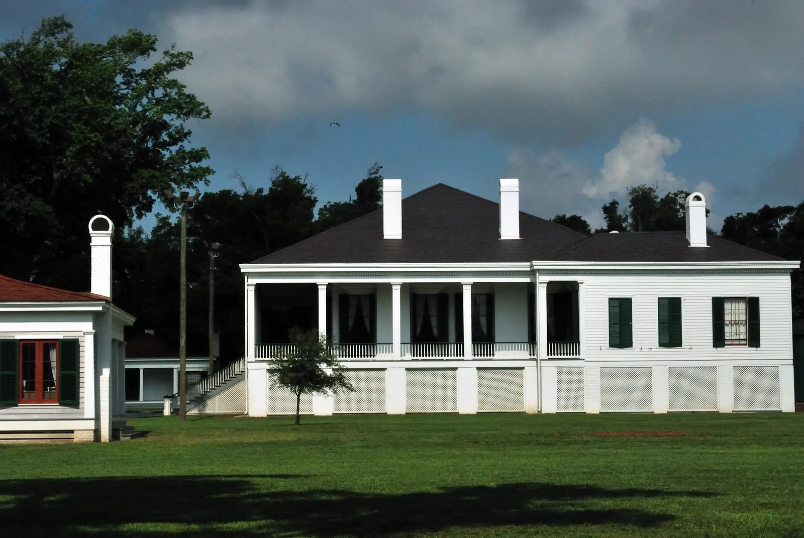
- Beauvoir, the historic house, museum and library on Beach Boulevard, which the plan lists among West Biloxi’s historic and cultural resources.
- The plan names Edgewater Park, Hiller Park and President Broadwater Golf Club as West Biloxi’s largest open spaces, home to many live oaks.
- Hiller Park, 380 Hiller Drive, the city’s largest park, is to the east on the Back Bay (parks page).
More in parks and trails and history and landmarks.
Getting around
- I-10: exit 38 (Lorraine-Cowan Road, MS 605) is about 4 miles northwest in a straight line, by way of Cowan Road in Gulfport, per OpenStreetMap. The city suggests I-10 or Cowan-Lorraine Road for leaving town without drawbridge delays; see getting around Biloxi.
- Downtown Biloxi: about 7 miles by road along U.S. 90. Gulfport-Biloxi International Airport: about 7 miles. Both are measured on the OpenStreetMap road network and are distances, not drive times.
- Buses: the Coast Transit Authority’s Pass Road route (Route 34) serves Edgewater Mall daily, and the Beachcomber (Route 1) runs along Beach Boulevard.
Groceries and everyday stores
From OpenStreetMap:
- Walmart Supercenter, 2681 C.T. Switzer Sr. Drive
- Edgewater Mall, Beach Boulevard: Dillard’s at 2600 Beach Blvd., Belk and JCPenney
- Walgreens, 1417 Pass Road, and CVS Pharmacy, 1422 Pass Road, just over the line in Gulfport
Frequently asked questions
Where is Edgewater in Biloxi?
Edgewater is the west end of Biloxi, near the Gulfport line, around Edgewater Mall, the Mississippi Coast Coliseum and Convention Center and Beauvoir on U.S. 90. OpenStreetMap names the area Edgewater Park.
What schools serve Edgewater in Biloxi?
The Biloxi Public School District’s zone map puts the area in the Popp’s Ferry Elementary zone, then Biloxi Upper Elementary, Biloxi Junior High and Biloxi High. Popp’s Ferry and Biloxi High each earned a B on the state’s 2025-26 report card.
What is the typical home value near Edgewater Mall?
Zillow’s index for ZIP code 39531, which includes Edgewater, was $205,581 in September 2026, up 2.38% in a year. It is a modeled typical value, not a sale price.
How do I get to I-10 from Edgewater?
The closest interchange is I-10 exit 38, Lorraine-Cowan Road, reached by Cowan Road in Gulfport. Popp’s Ferry Road and Cedar Lake Road lead to exit 44.
Have your say